cape of
cape
cape
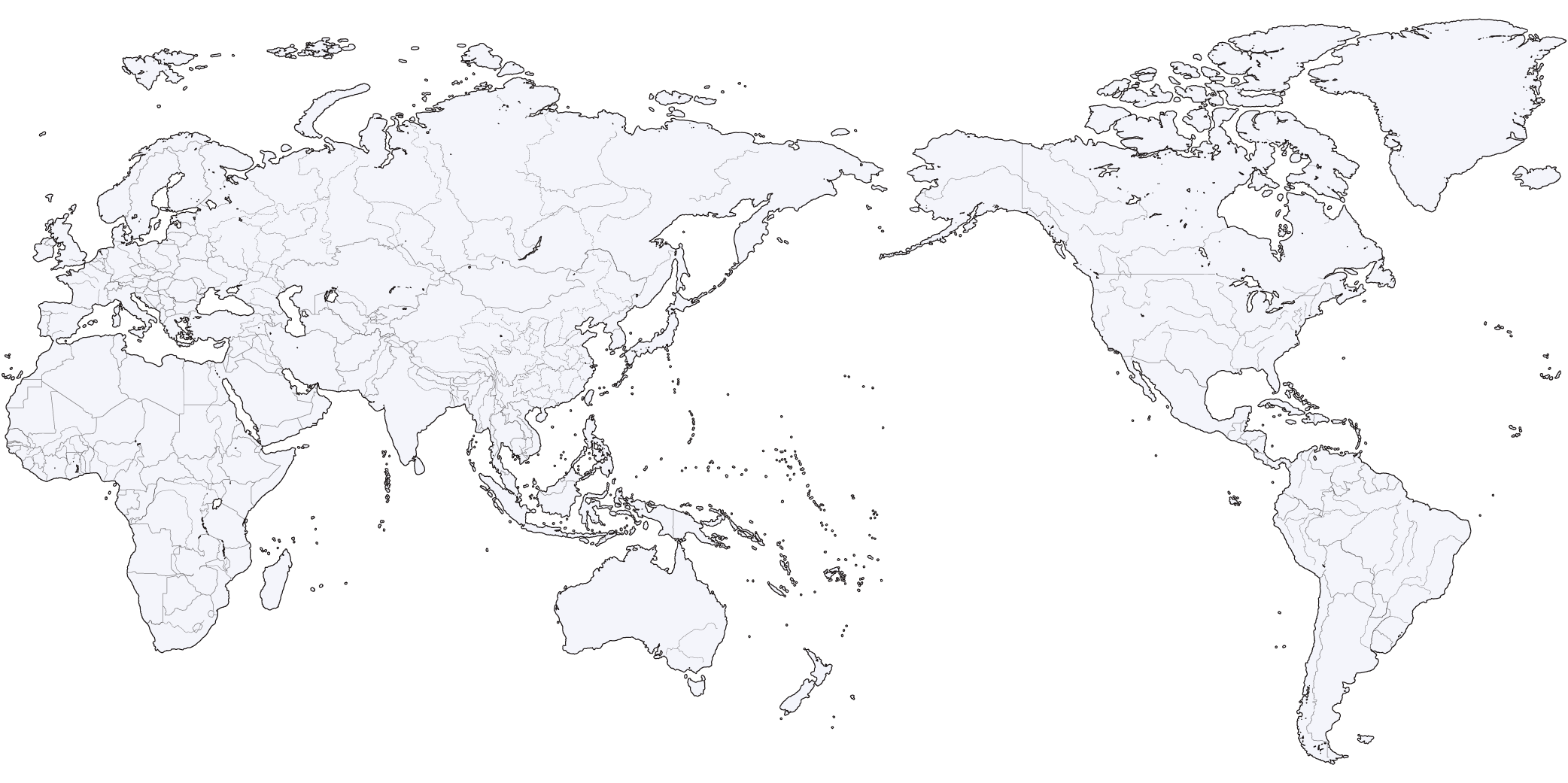
through these 3 places
Every true sailor goes
2
1
3
GOOD HOPE
cape of
LEEUWIN
cape
HORN
cape


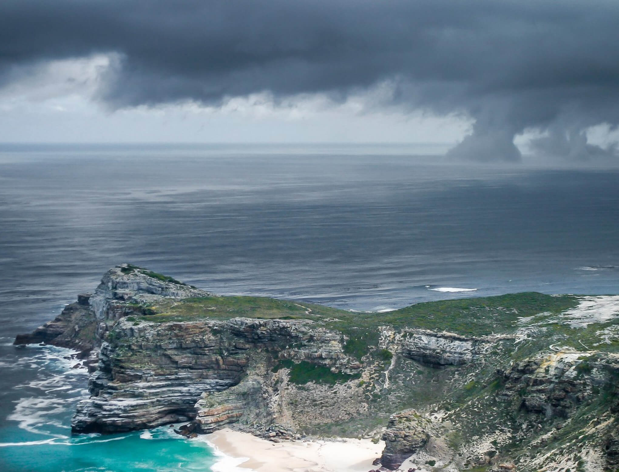
Rocky promontory at the southern end of Cape Peninsula, Western Cape province, South Africa.
HOPE
GOOD
cape of


In fact, the southernmost point of Africa is Cape Agulhas about 150 kilometres to the east-southeast.
Africa
Latitude 34°21′33″ South
Longitude 18°28′21″ East
Republic of South Africa
Bartolomeu Dias
Portuguese navigator
1488
Latitude 34°21′33″ South
Longitude 18°28′21″ East
Republic of South Africa
Bartolomeu Dias
Portuguese navigator
1488

Continent
Coordinates
Country
Discoverer
Year of discovery
Coordinates
Country
Discoverer
Year of discovery


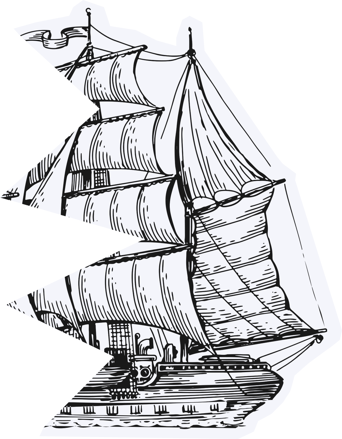

The Cape of Storms
The short windows that open with different winds are fleeting, shut down quickly and the prevailing headwinds return.
The dreaded South-Eastern blows here.
ships are crashed here
300
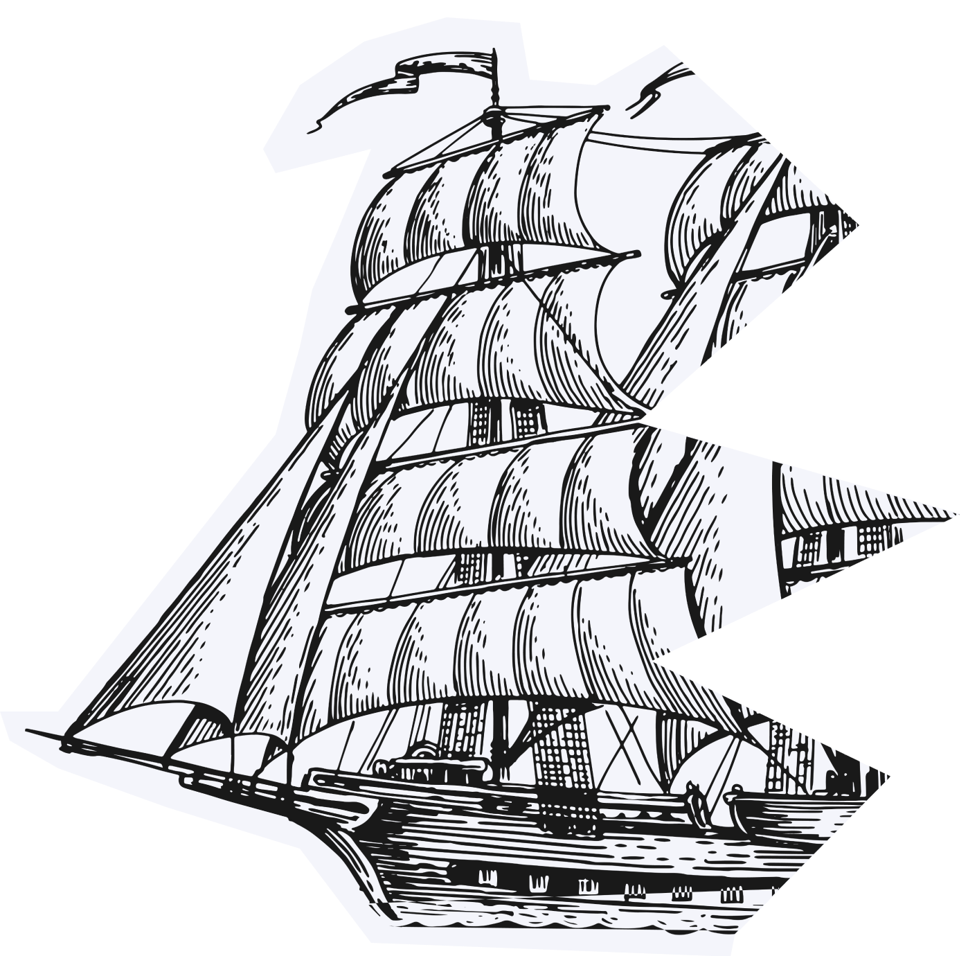
For the ancient sailing ships and clippers, approaching the Cape following the African coast meant encountering very strong headwinds. This made the Cape difficult to round despite several attempts.
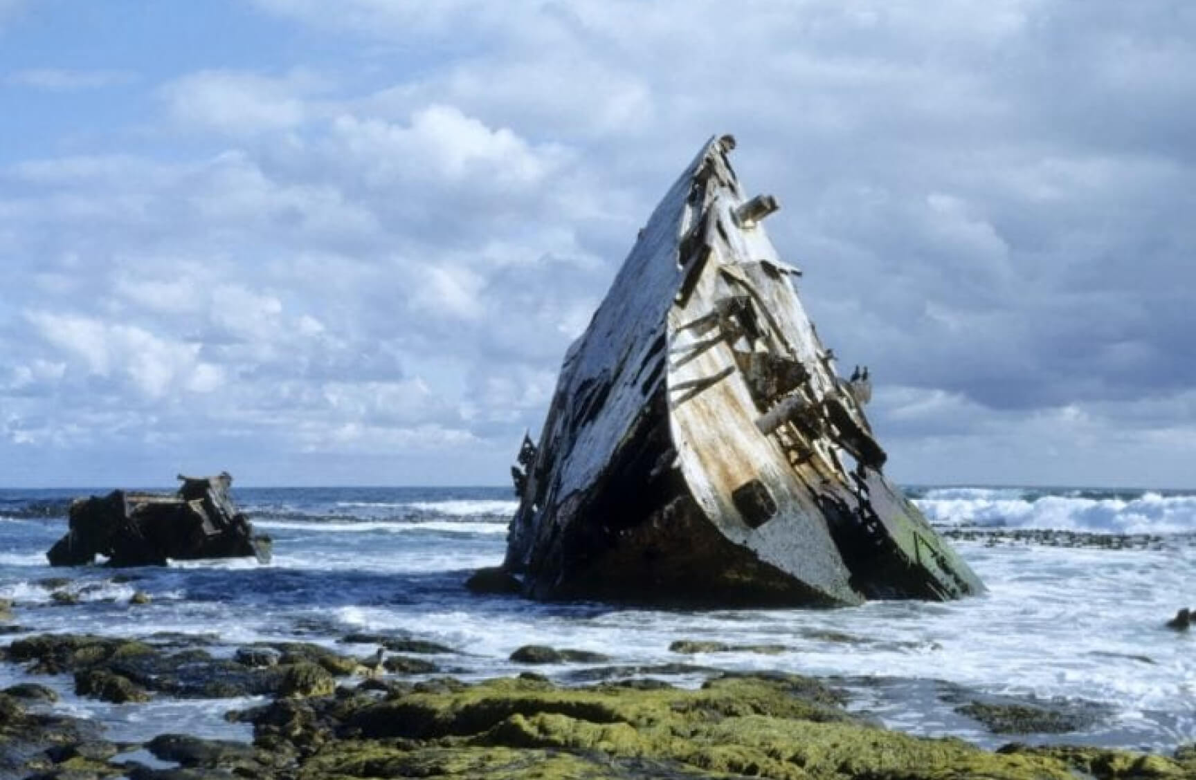
SS THOMAS T TUCKER. CAPE POINT NATURE RESERVE. DATE OF WRECK — 1942


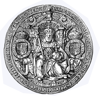





1 000 000 000 000 000 000 000 000

francs, pounds sterling etc. — value of sunken goodsships are crashed here
The Cape of Ghosts
“I shall round this damned Cape, even if I have to sail until Doomsday comes.”


year
when Flying Dutchman started it’s endless rounds the Cape
when Flying Dutchman started it’s endless rounds the Cape
1641

According to legend, these were the words of Captain Hendrick van den Decken when his crew begged him to take shelter in Table Bay during his attempt to sail around the Cape of Storm on a stormy day.
The Flying Dutchman is said to appear as a ghostly, glowing ship. It will materialise suddenly and then, just as suddenly, vanish. Some claim that seeing the Flying Dutchman is a sign of horrible misfortune to come.
francs, pounds sterling etc. —
value of sunken goodsships
are crashed here
value of sunken goodsships
are crashed here
francs, pounds sterling etc. —
value of sunken goodsships are crashed here
value of sunken goodsships are crashed here



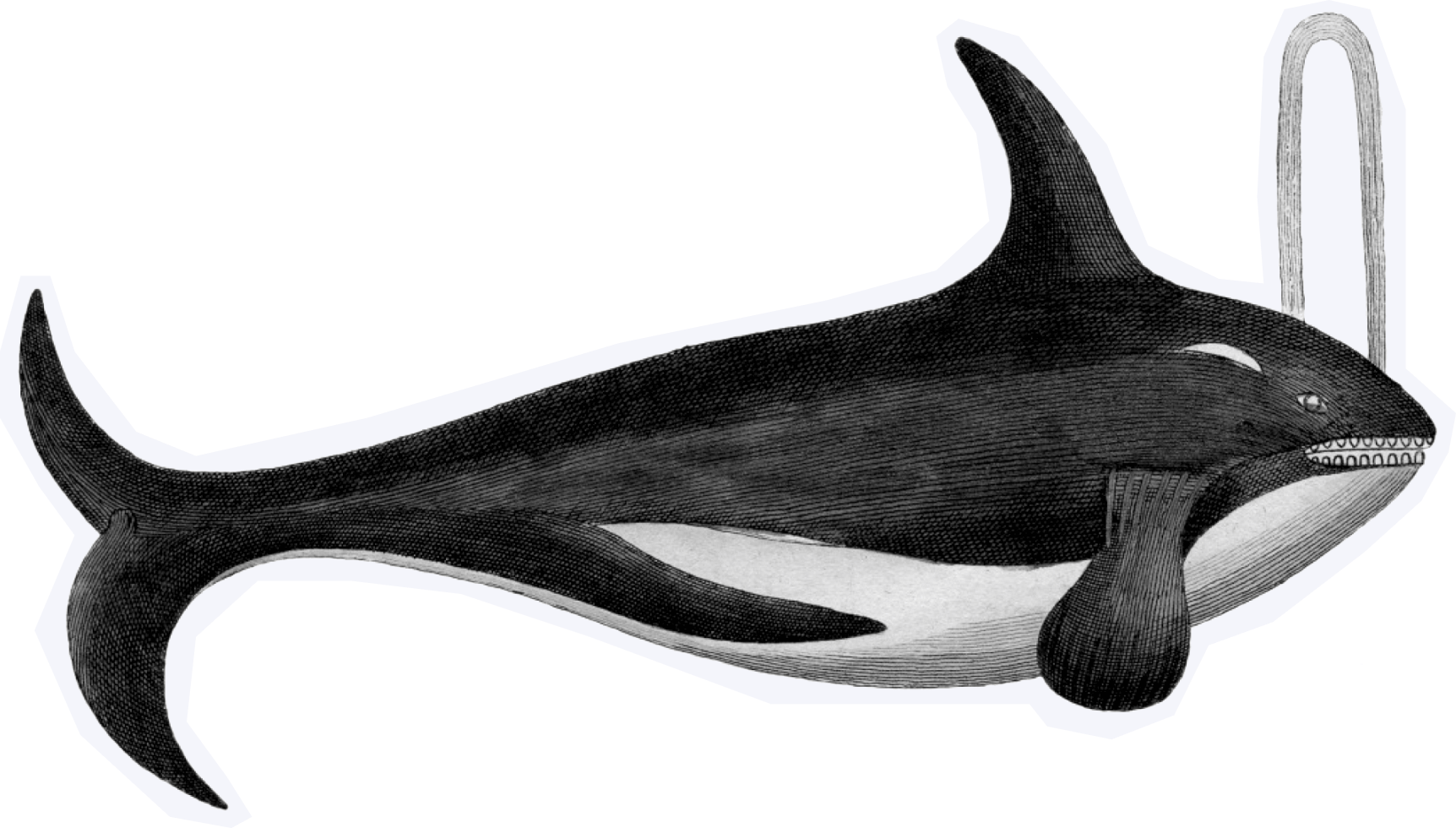


The sailor who rounded the Cape of Good Hope was allowed to put his feet on the table in a tavern.


The most south-westerly (but not most southerly) mainland point of the Australian continent.
LEEUWIN
cape
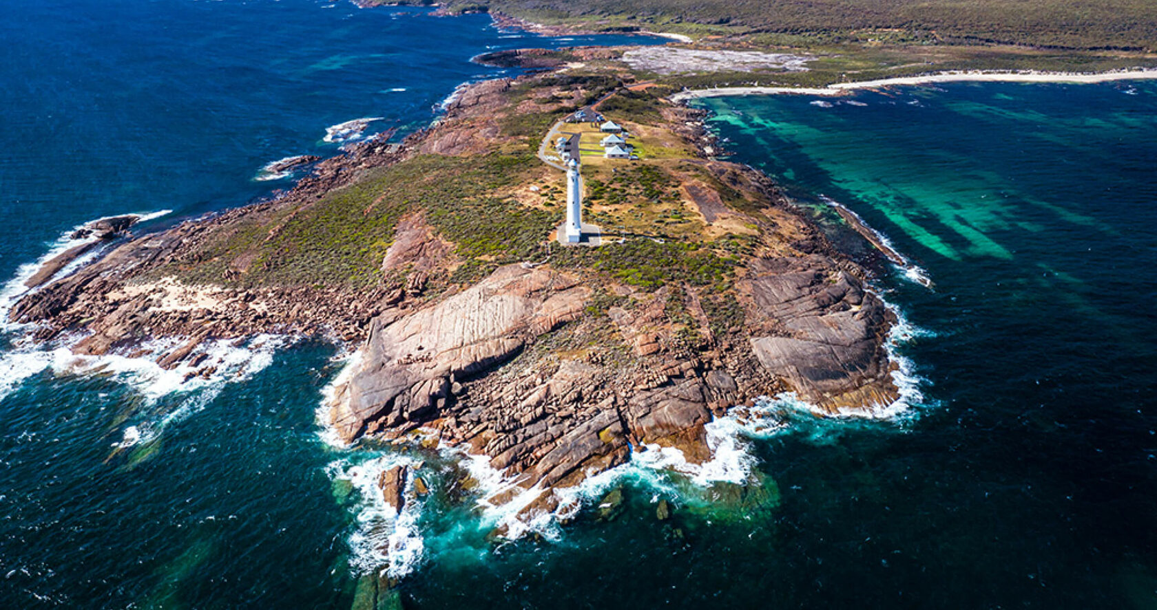
The southernmost point of Western Australia is West Cape Howe, which is to the southeast, near Albany.
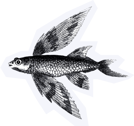


The Leeuwin means The Lioness in Dutch.

Australia
Latitude 34°22′27″ South
Longitude 115°08′09″ East
Western Australia
Matthew Flinders
English navigator
1622
Latitude 34°22′27″ South
Longitude 115°08′09″ East
Western Australia
Matthew Flinders
English navigator
1622
Continent
Coordinates
Country
Discoverer
Year of discovery
Coordinates
Country
Discoverer
Year of discovery


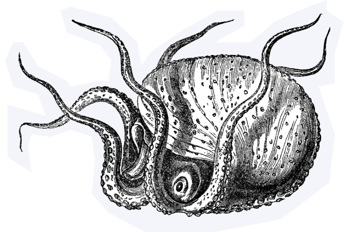

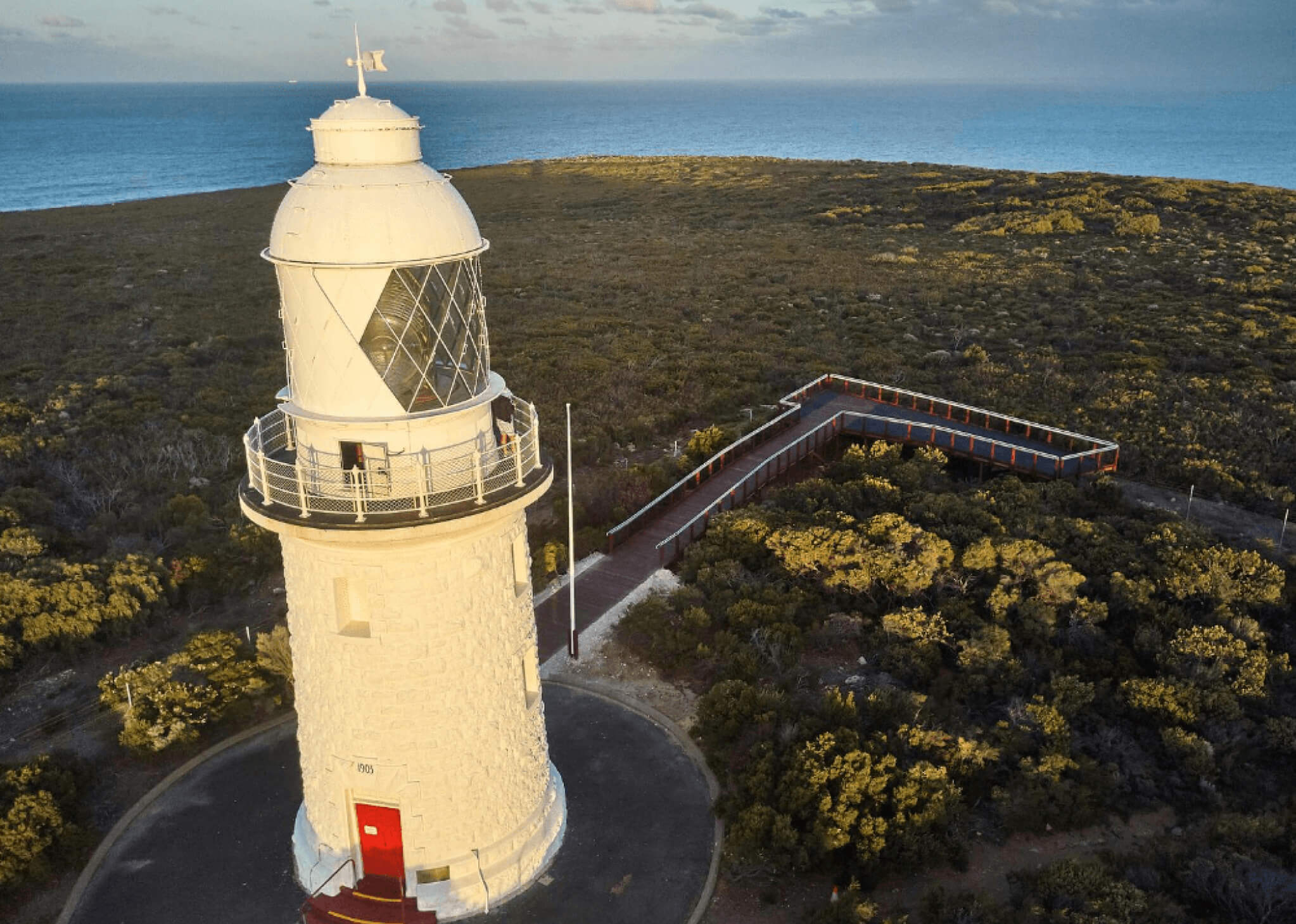
shipwrecks happened before the lighthouse was built, and only two after.
23
There are treacherous currents, strong winds and numerous rocks emerging from the water around. The idea of building a lighthouse was discussed since 1881 and only 14 years later construction began.


If a sailor passed
the Cape Leeuwin
he was supposed to...
the Cape Leeuwin
he was supposed to...
At this place, no one, even Google, even experienced sailors, my friends, can say anything definite. If you have this information — let me know please!
Visitors can enjoy a coffee or delicious
light refreshments in the Cape Leeuwin Lighthouse Café
light refreshments in the Cape Leeuwin Lighthouse Café
The English navigator Matthew Flinders named Cape Leeuwin after the first known ship to have visited the area, the Leeuwin ("Lioness"), a Dutch vessel that charted some of the nearby coastline in 1622.


HORN
cape
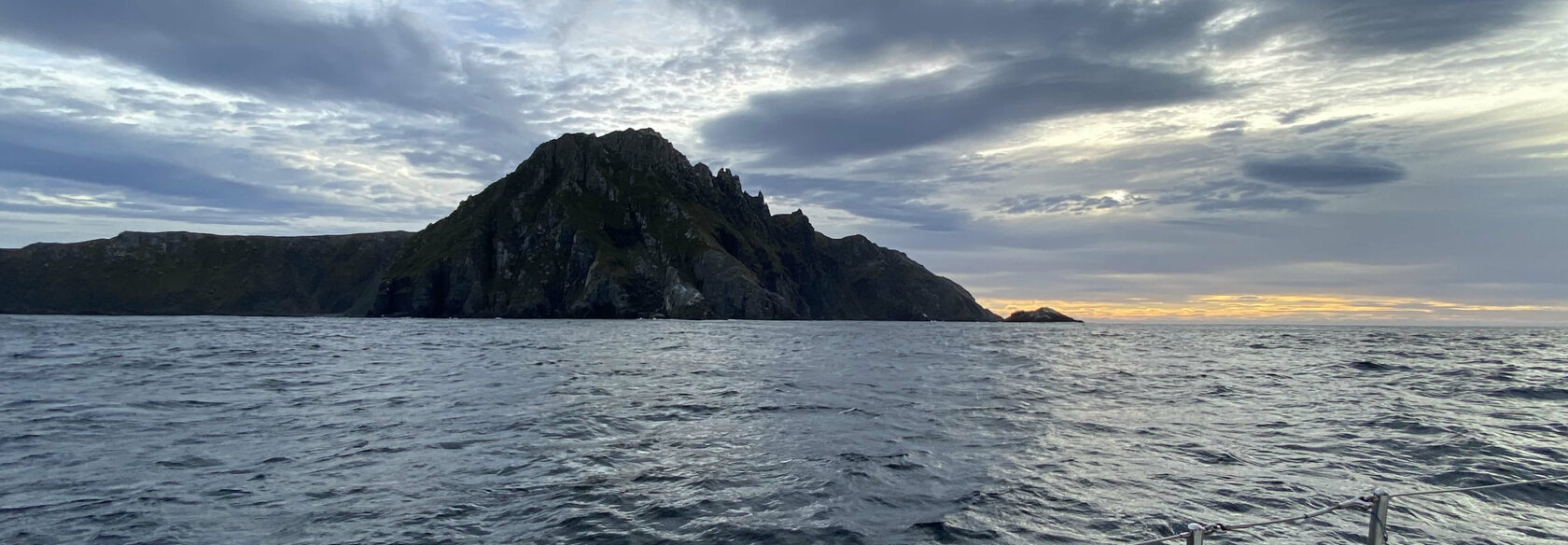


Cape Horn is the southernmost headland of the Tierra del Fuego archipelago of southern Chile, and is located on the small Hornos Island.
Although not the most southerly point of South America, Cape Horn marks the northern boundary of the Drake Passage and where the Atlantic and Pacific Oceans meet.

In fact the most southerly point of South America is the Diego Ramírez Islands.


20 March 2022 08:39. From my personal archive

South America
Latitude 55°58′48″ South
Longitude 67°17′21″ East
Chili
Willem Schouten
Dutch navigator
1616
Latitude 55°58′48″ South
Longitude 67°17′21″ East
Chili
Willem Schouten
Dutch navigator
1616
Continent
Coordinates
Country
Discoverer
Year of discovery
Coordinates
Country
Discoverer
Year of discovery


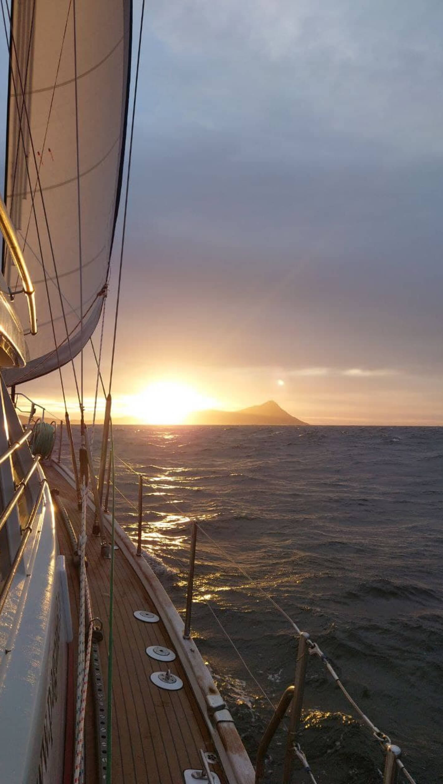
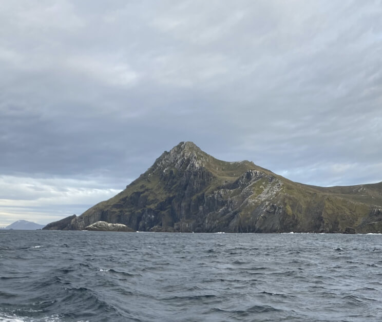
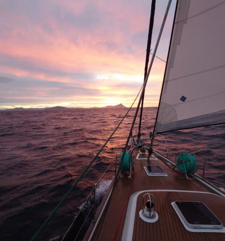
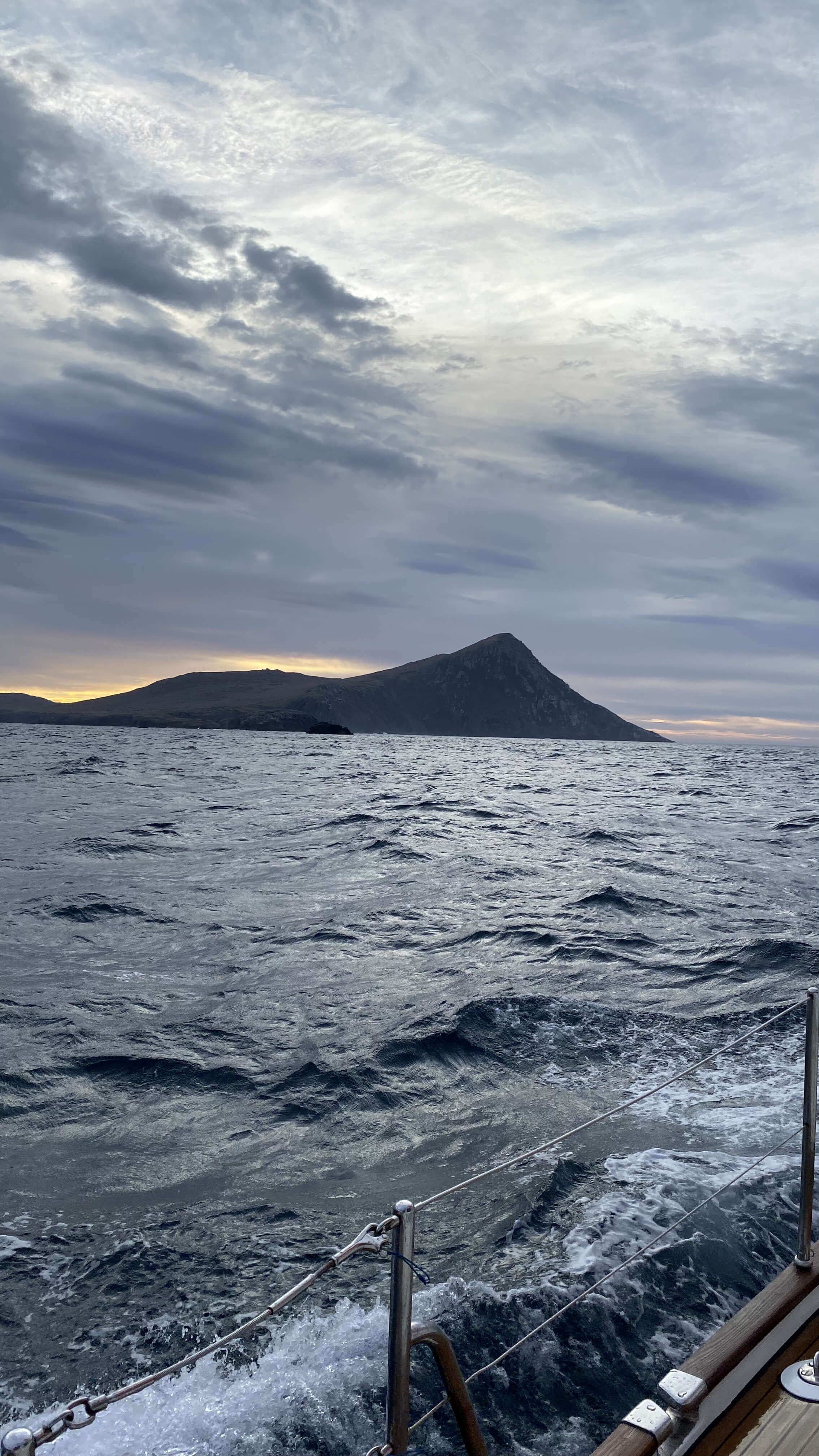
20 March 2022 07:20. my FRIEND'S PHOTO
20 March 2022 10:24.
From my personal archive
From my personal archive
20 March 2022 06:52. my FRIEND'S PHOTO
20 March 2022 08:17.
From my personal archive
From my personal archive

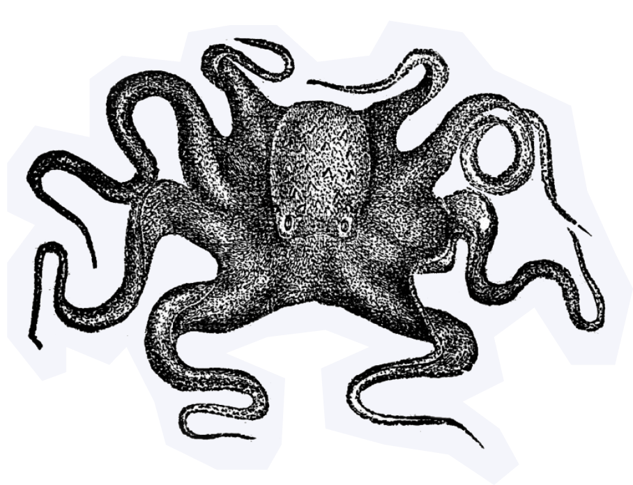


The Graveyard of Ships

The Horn has long been known as a sailor’s graveyard due to the strong winds and currents, large waves and icebergs. It's subject to strong westerly winds — “fierce fifties”.


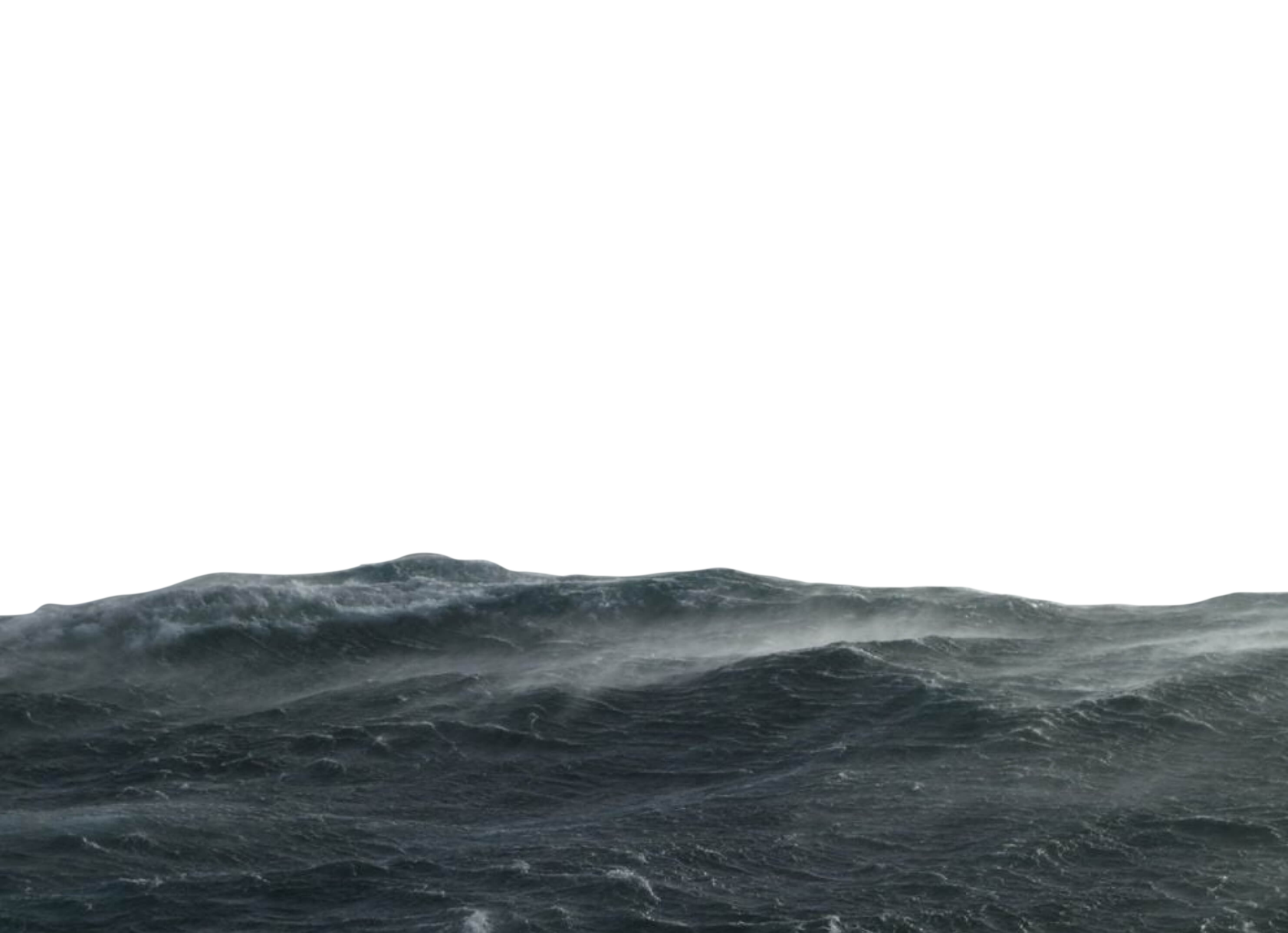
metres
wave height
wave height
15
rainy days
in a year
in a year
300
knots the average
wind speed
wind speed
58
800
ships are wrecked here
sailors drowned
10 000


54ft steel PELAGIC ROUND CAPE HORN. 2013
Storm at Cape Horn. 2008. Ph.: John Delaney
TEAM SCA ROUND CAPE HORN DURING VOLCO OCEAN RACE. 2015
Drakes Passage. Ph.: Conrad LOUIS-CHARLES


960-1200
все ок
все ок
640-960

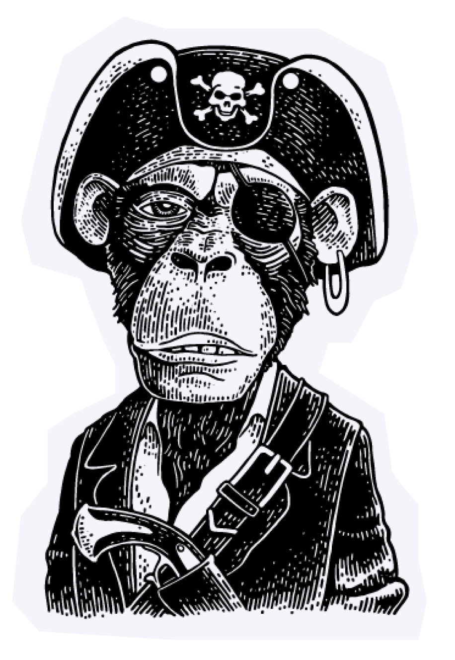
Sailors who rounded
it once got the right
to put a silver earring in their left ear. After
the third successful passage — a gold one.
it once got the right
to put a silver earring in their left ear. After
the third successful passage — a gold one.
And for each passage relied on a free drink in the tavern at the expense of the Queen.
Fair winds and
following seas!

The site was made
on the course “Creative layout”
from Anya Melnik.
on the course “Creative layout”
from Anya Melnik.
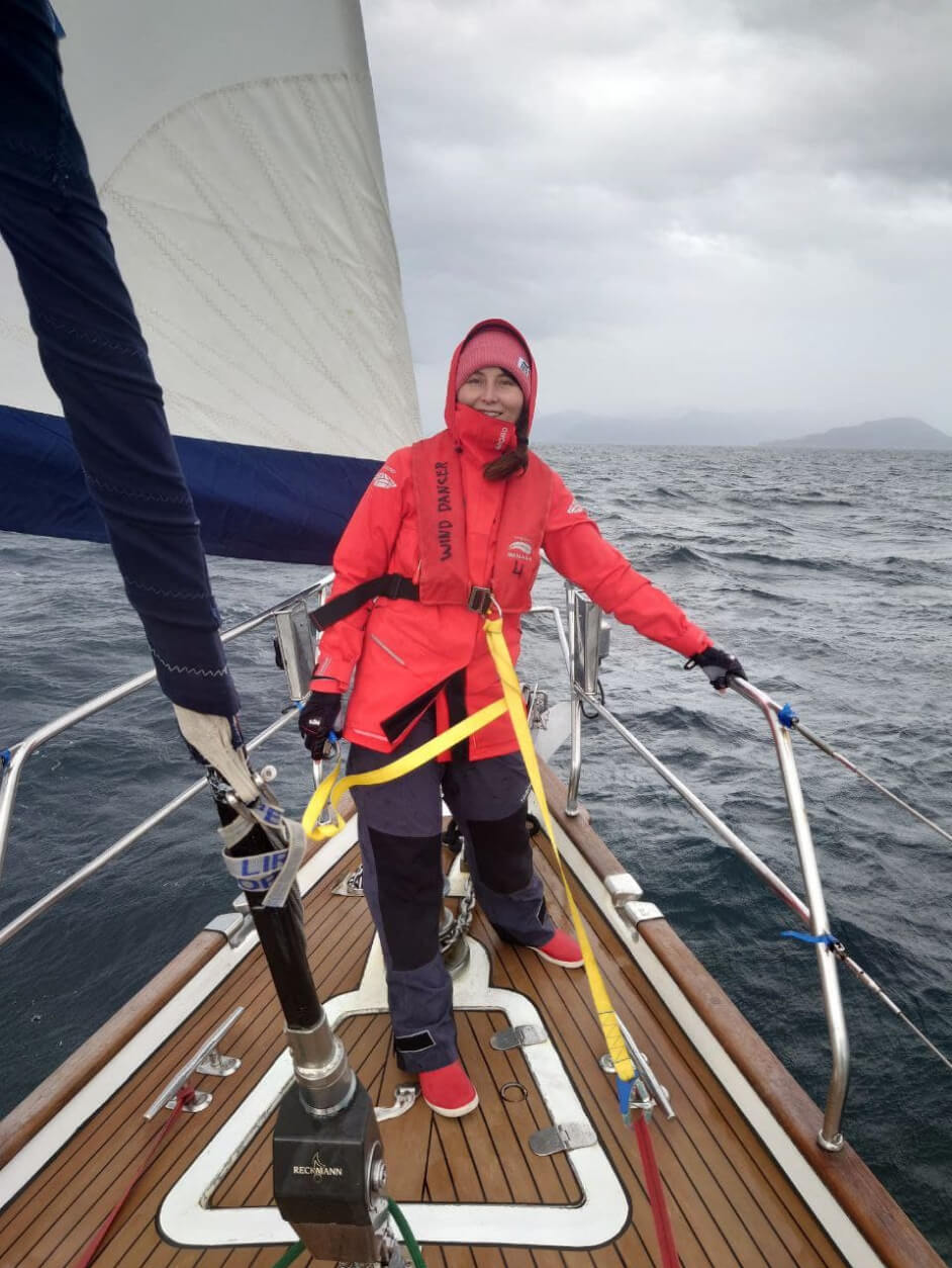
My name is Alena Zubkova.
I’m a designer, sailor and bowgirl.
Open to design and nautical offers.




The author passed Cape Horn once
and dreams of a round-the-world voyage.
Resources
https://en.wikipedia.org
https://www.reddit.com
https://library.princeton.edu
https://insideguide.co.za
https://www.losariretreat.com.au
https://theculturetrip.com
https://www.privateproperties.com.au
https://worlddocumentaryphotographer.com
https://www.yachtingworld.com
Project made in educational purposes only. All rights to materials belong to their owners.
